Trips to Mani, Fixyá, Homún, Buctzotz and San Antonio Xiat
Over the past week, Eli, Ismael and I visited several cenotes to survey in water levels and install data logging …
Over the past week, Eli, Ismael and I visited several cenotes to survey in water levels and install data logging pressure sensors. Th cenotes we visited ranged in size from small lakes with a diameter of 100 m (measured in google maps) to small water bodies (several meters in diameter) within caves. All these bodies of water are likely connected to conduits to other underground chambers. We saw shrimp, fish (black 'catfish'), bats and birds in different cenotes. On google maps, some of these cenotes appear as green oases amid apparently dryer terrain. Water in the cenotes closer to the coast appear as small lakes or ponds, and those further inland form caverns with the water up to 20 m below the surface at the cenotes we visited.
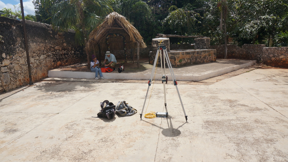
At each site, a benchmark is established with the dual frequency GPS unit. An autolevel is then used to survey a point were water levels can be measured relative to this benchmark. An electrical water level indicator is then used to measure the depth to water from the surveyed in reference point. In several locations, non-vented data logging pressure sensors were deployed to measure the water pressure that will be converted into a water elevation. The water levels over time will provide information on flow directions and the relationship between the water in the cenotes and other forces (e.g. ocean tides, evaporation, precipitation events)
More pictures can be seen on Instagram at higeoquica.uqs.fqunam Right click on pictures to open them in another web browser tab. -----
Pictures from Mani Cenote; 02 Mar, 2022
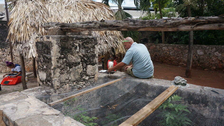
Ismael prepares to measure the water level in a cenote 15 m below.
Eli measures chemical parameters in the cenote water
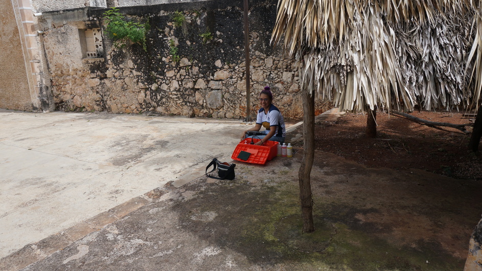
Eli and Ismael discuss proper geochemical sampling and equipment calibration
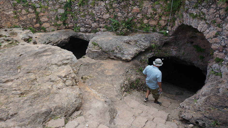
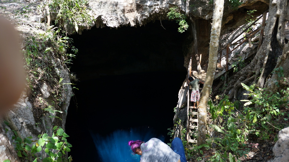
Ismael descends into the cave
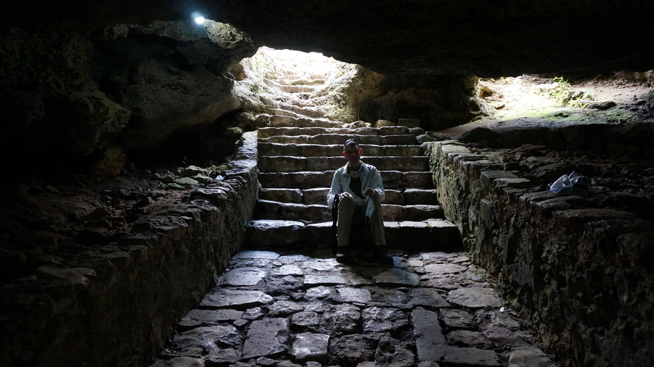
Andy rests in the shade. Note the geometric shapes of the paving stones, likely taken form Mayan buildings.
Chemical precipitates in the cave
Bats on the ceiling of the cave
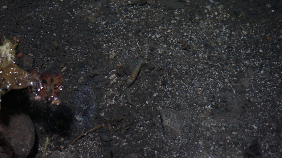
Shrimp in cenote water
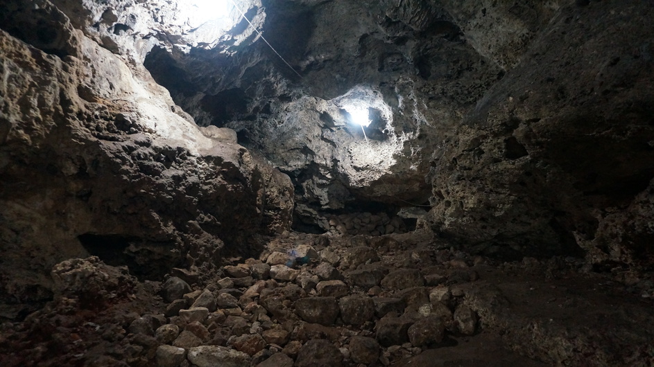
Tunnels in the cave system associated with the cenote
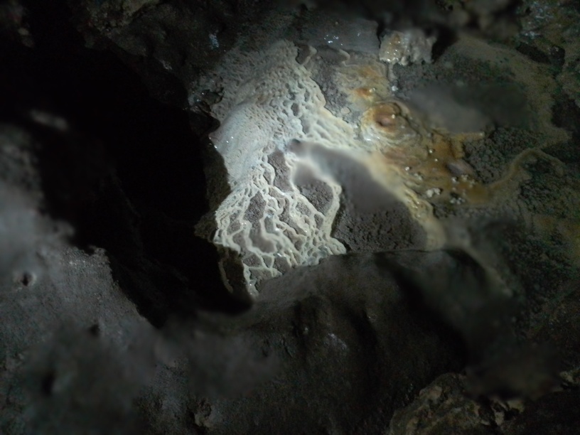
Chemical precipitates in cave
Pictures from Pixyá Cenote; 03 Mar, 2022
Eli preparing to sample the cenote
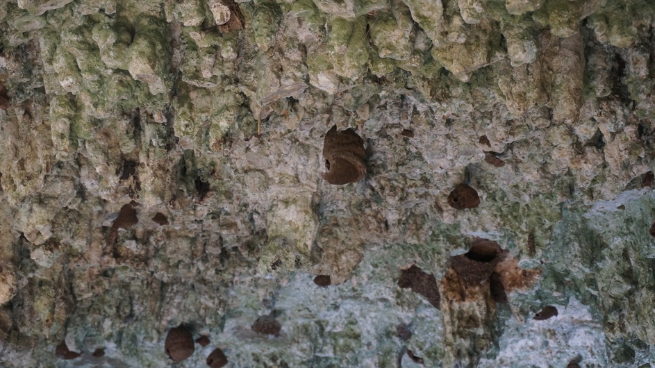
Roof of cave with wasp/bee nests across the roof
Pictures from Homún Cenote; 03 Mar, 2022
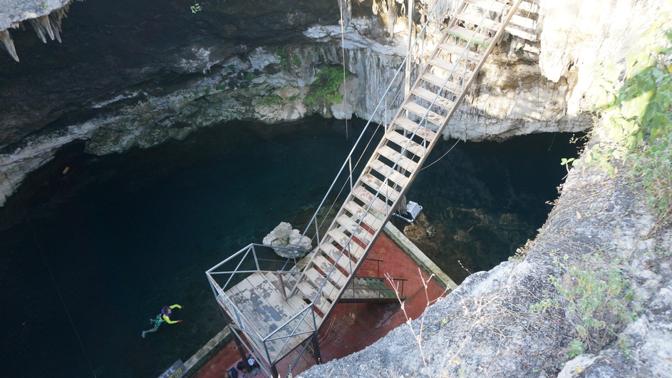
Water in cenote with geochemical station nest to the roots descending into the water
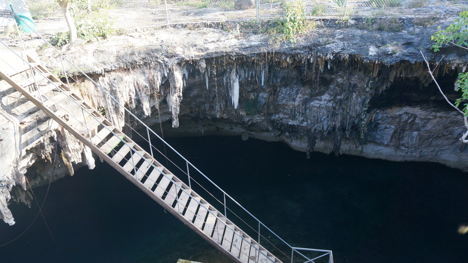
Stalactites on roof of cenote, stairs to water in foreground
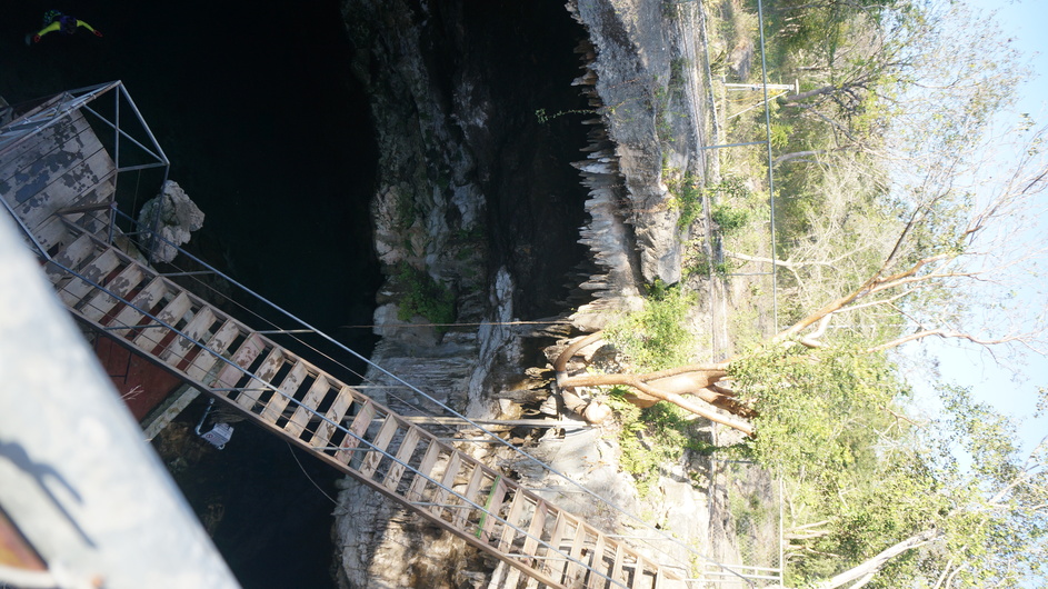
GPS in background behind fence shown located over cenote cavern
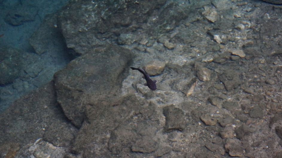
'catfish' in cenote
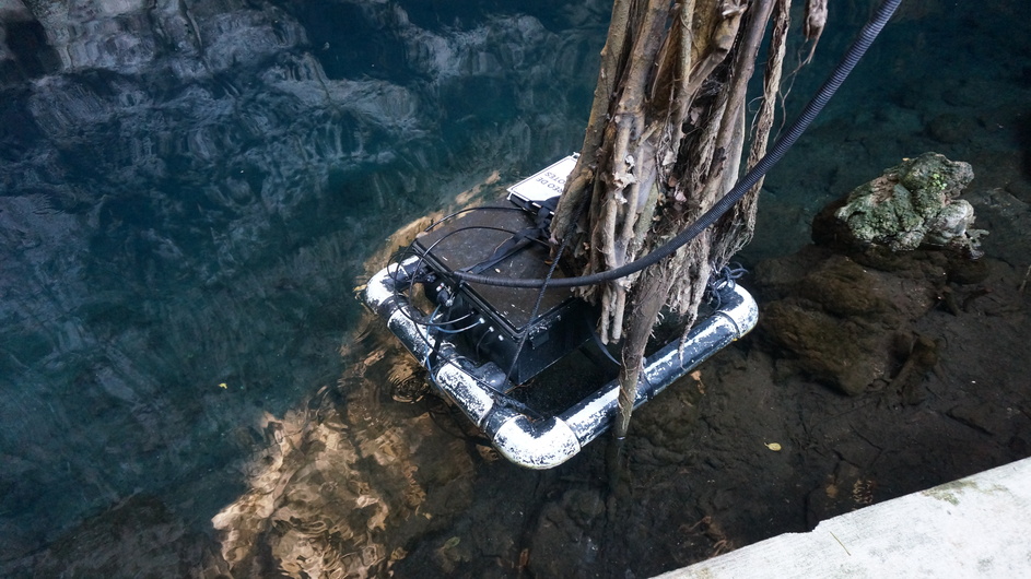
Geochemical monitoring station in cenote water
Pictures from the Buctzotz Cenote; 04 Mar, 2022

Birds in the Buctzotz Cenote
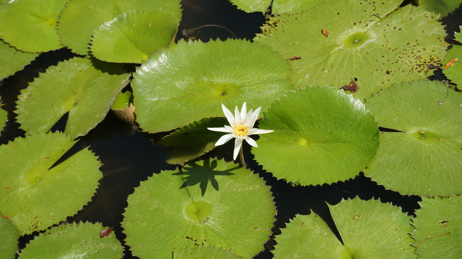
Water lily in cenote.
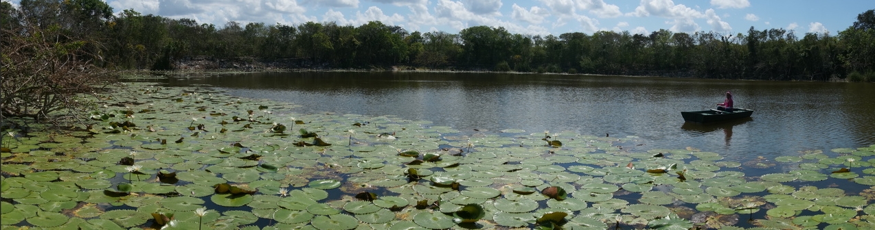
Eli rowing over to service the geochemical monitoring station.
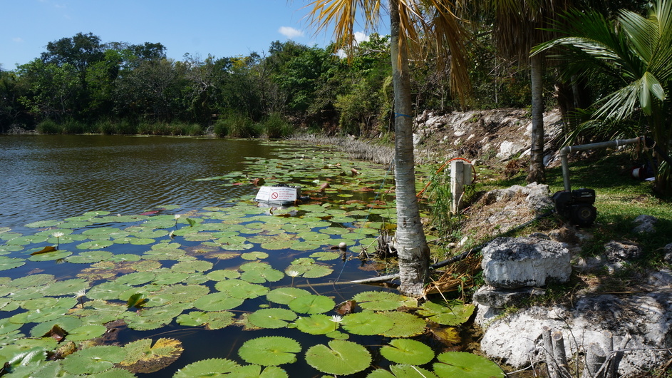
Geochemical monitoring platform in centote
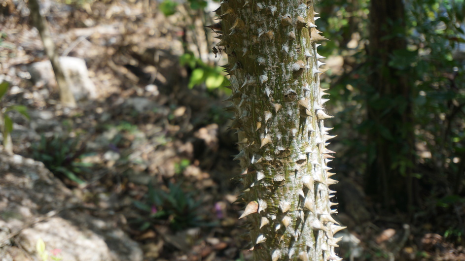
Watch out for Thorns on the plants!
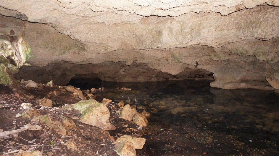
Pictures from Cave visited, filled with water but locals indicated this was rare and may have be the after affects of a previous tropical storm that caused extensive flooding. We decided not to put a sensor here. 04 Mar, 2022
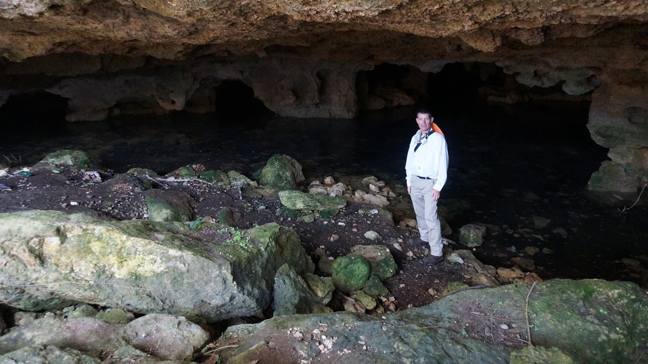
Andy looking silly in a cave
Bats flying in cave
Pictures from San Antonio Xiat Cenote; 04 Mar, 2022
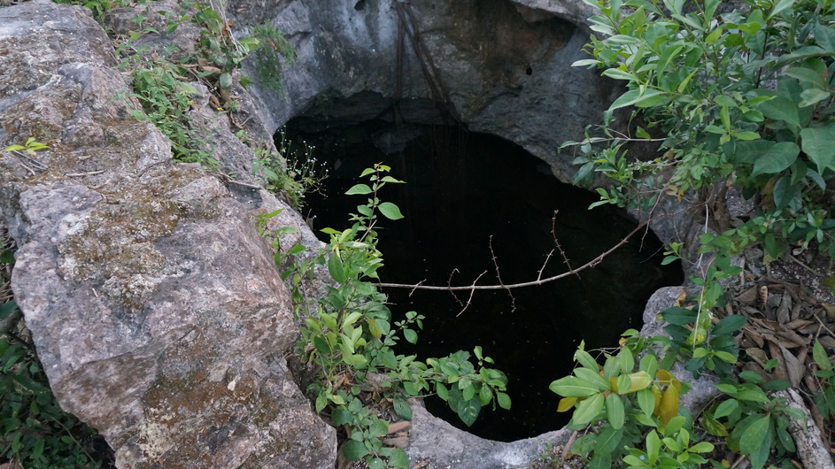
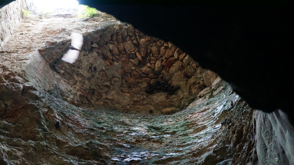
Opening over pool in cavern
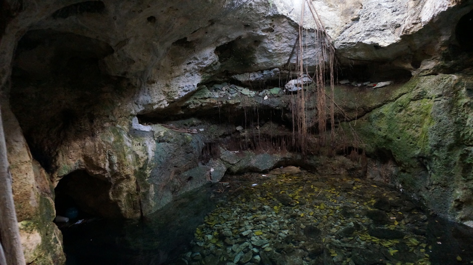
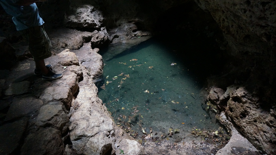
Cenote pool
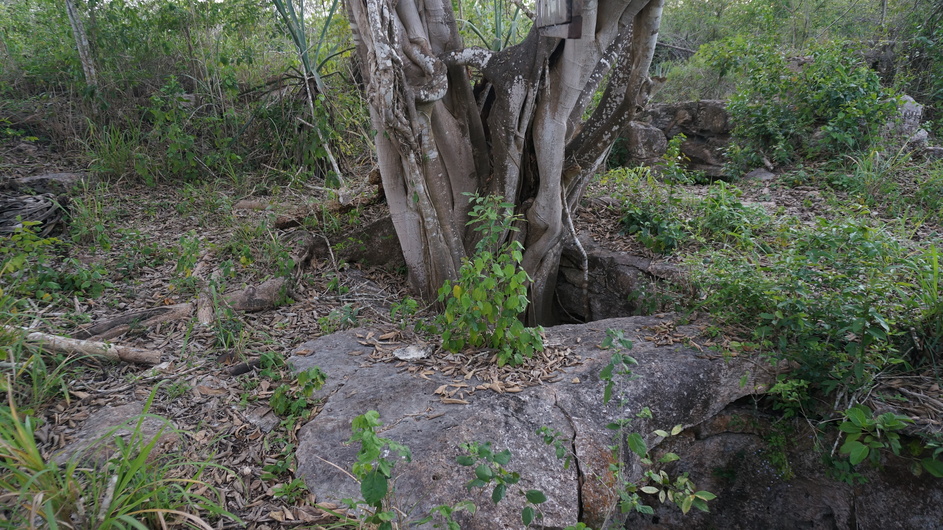
Tree with roots descending to cenote water
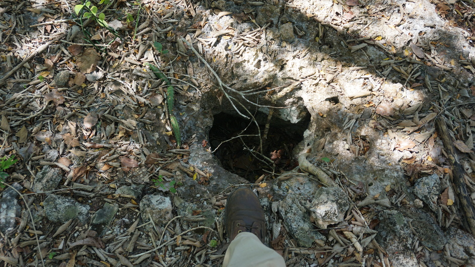
Opening over pool in cavern